All-natural web development, poignant wit, and hippie ramblings since 2004.
Mapping localities of London and surrounds
England is the latest area of the globe that I've been focusing on, as part of my ongoing hobby project, the World Locality Transit Graph. How to carve up Pommyland into areas such that, when a local is asked "where in England are you from?", they'd say "I'm from X".
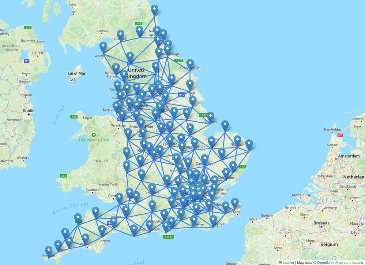
I was originally planning on waiting until I had finished graphing the whole of the British Isles, before penning any thoughts. However, there's more than enough to discuss just within the confines of England (and, from the modest start I've made so far, there will be plenty more to discuss just relating to Wales, Scotland, Northern Ireland and Ireland).
In fact, just a rundown of London and its surrounds is quite the essay, so that's what the scope of this article is limited to (I'd like to pen my thoughts on localities in the rest of England at some point, but not sure when or if that will happen, see how we go).
Plus, I'm keen to start reaching out for feedback sooner rather than later – even though I've researched geographical minutiae quite extensively for this mapping endeavour, I've never lived in England myself, and locals will no doubt be horrified at the abomination that I've created, and will have a plethora of suggestions. This is all an ongoing work in progress! Anyway, here goes.
- Getting MapLibre working for both native and web in Expo (7 Jan 2025)
- Sea level rise is gonna get a whole lot realer (1 Jan 2025)
- Introducing: World Locality Transit Graph (23 Jun 2024)